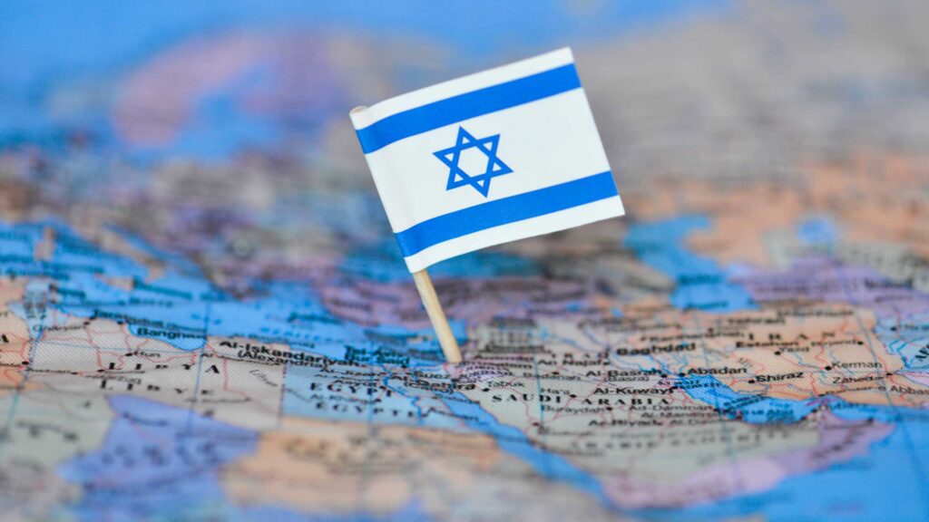
Maps can be an engaging tool to help deepen our students' understanding of Israel. In its short history, the borders of the state have been in a constant state of flux, regularly negotiated and fought over. Many major events in Israeli history, such as the Partition Plan, the Six-Day War and the Oslo Accords, need to be understood by considering their impact on the map. Moreover, maps can be used to bring to life the challenges of establishing and maintaining a thriving Jewish state in a complex region.
As we try to differentiate instruction for students with different strengths and interests, maps can be a great tool to engage visual learners who find it easier to understand information when it is presented as an image or graphic. That is why we, at Unpacked for Educators, have created this helpful maps resource for you to utilize in your classroom.